
Walking a Clay County Street by Address
Start at the Clay County Parcel Search, not at the Recorder. The parcel card can match a property address to its Prop ID, Parcel ID, owner or co-owner, map description, tax area, and a sale reference. In Clay County, the physical location is the situs address. The owner mailing fields are kept separately, which matters when the title holder receives tax mail somewhere else. A property record can identify a current titled owner, but it cannot establish every person who lives on the site.
- Enter a street number or name in the parcel search. If a broad street produces too many matches, use the Collector’s address search to narrow by number, city, or ZIP.
- Open the same parcel in Clay GIS, retain Current Year Parcels and Building Footprints, then work outward by clicking each adjoining polygon.
- Record the parcel’s current owner, situs, map description, and sale instrument or book/page. Those details keep similarly named parcels apart.
- Use the owner name, rather than the street name, in the Recorder’s alphabetical index. Read the deed’s grantor, grantee, type, date, and legal description.
- For a permitted voter-record request, ask the Clay County Election Board about a precinct or ward procedure and use historical directory holdings only for years actually available.
The sequence is address to parcel to name to recorded instrument. It does not turn a street directory into a complete resident roster. A long road must be handled in short segments because the parcel search reports a maximum of 200 records.
Clay County Street Directory Parcel Fields
The parcel interface offers both property/address and owner or business routes. Its match view supplies Prop ID, Parcel ID, owner, situs, and map description. Address matches also display a match score and coordinates. Select a single result before drawing conclusions, especially on a street with repeated unit numbers or similar names. The full detail card separates ownership, location, land-description, and value information instead of treating them as one kind of evidence.
| Parcel-search field | How it works in a Clay County street search |
|---|---|
| Selected criterion and search term | Choose a search criterion, enter an address or term, then use Search or Clear controls. |
| Property / Situs Address | Places the parcel on the street. It is distinct from the owner’s mailing address. |
| Prop ID and Parcel ID | Identify the parcel across the assessor card, GIS results, and Collector research. |
| Owner and Co-Owner | Identify titled parties, not a complete list of occupants. |
| Instrument, Book, Page, Deed Type, Deed Date | Provide the bridge into Recorder research by name. |
View the Clay Assessor parcel-search screen before trying a live address search.
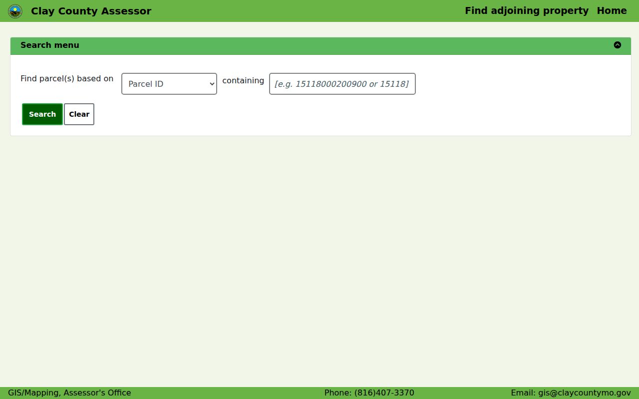
The screen’s selector, results notice, and match layout show why a precise address is useful when walking a Clay County street by address.
Note: Broad street searches can exceed the portal’s result cap, so a number, unit, city, ZIP, or owner name may be needed to isolate one parcel.
Clay County Streets on the GIS Map
The Clay County GIS Interactive Map provides Search, Measure, Layer, Legend, Advance Search, selection, screenshot, and coordinate tools. Search can use an address, parcel, or partial parcel identifier. A selected result displays Prop ID, Parcel ID, Current Owner, Situs, and Map Description. For a street-directory question, turn on Current Year Parcels, Lots, Subdivisions, and Building Footprints before inspecting the block.
City Limits and taxing-district layers add needed context. A block can cross into another municipal jurisdiction, or show different school, fire, road, library, water, and other district overlays. The map’s Measure tool gives an approximate distance only. Clay GIS says its public-service data is subject to change and is not an official record or legal boundary statement.
See the Clay GIS parcel viewer with its available layers.
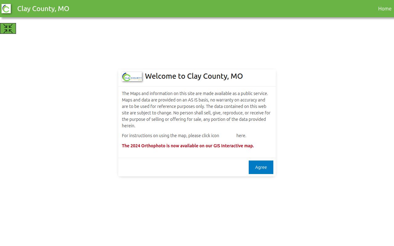
The viewer is useful for seeing which polygons touch a street segment, while recorded plats, surveys, and deeds remain the sources for an actual property boundary.
Clay County Street Directory Record Layers
Each Clay County source answers a narrow address question. The Assessor and GIS locate a parcel and identify current ownership. The Recorder supplies the recorded title trail once a name or reference is known. The Collector can narrow an address or ZIP search. Liberty tools are useful only inside that city’s jurisdiction. Historical collections supply leads from a prior era, not a current answer.
| Clay County address source | What a street search can establish | How to reach it |
|---|---|---|
| Assessor parcel card | Current owner or co-owner, situs, mailing fields, use/type, assessment, tax area, and sale book/page | Online parcel search, phone, or counter |
| GIS parcel map | Adjoining parcels, lots, subdivisions, districts, zoning, roads, and orthophoto context | Public map and GIS office; reference-only map data |
| Recorder deed and plat index | Grantor/grantee, instrument, legal description, recording date, and book/page | Registered iCounty search, public terminal, or copy request |
| Collector tax search | Account, owner or business, address, ZIP, and tax-search results | Online search or county office |
| Liberty permits and requests | Parcel- or address-linked permits, applications, inspections, and public complaint metadata | SmartGov, city channel, phone, or Sunshine request |
| Historical reverse directories | Address-to-occupant or phone clues in a verified volume | MGC or Archives catalog, microform, onsite research, or correspondence |
The street number joins the first group of records, but the Parcel ID and named owner are often the safer joins. A tax account does not name every resident. Likewise, an owner’s mailing address can be outside Clay County or associated with a trust or company.
Clay County Deeds Are Searched by Name
The Clay County Recorder of Deeds does not search its deed index by street or location. That limitation shapes a reliable street directory workflow. Copy the present owner and book/page or instrument from the Assessor card, then sign in to the iCounty Online Search and search the owner as grantee. The purchase deed identifies a prior grantor. Search that seller as grantee to find the earlier acquisition, and repeat when the legal description remains tied to the same parcel.
A grantor conveys an interest, while a grantee receives it. A plat is a recorded subdivision map that can connect a lot and block description to the GIS layers. Keep the legal description with the chain, particularly on rural land described by section, township, and range. Clay Recorder says in its office guidance that sales price is not public, so the title chain should not be recast as a sale-price history.
Open the Recorder’s registered search entry for the name-indexed path.
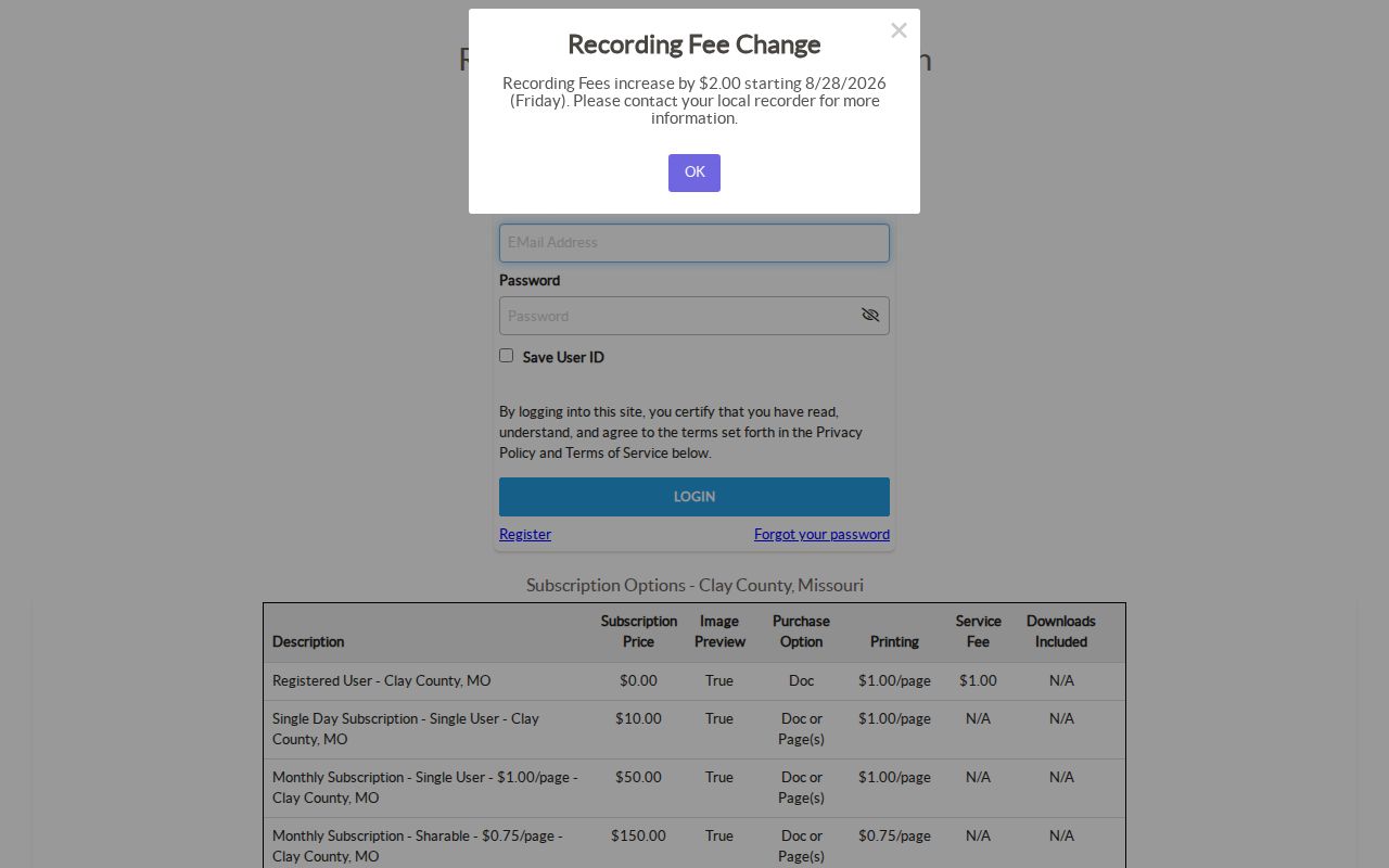
The login and registration screen reflects the Recorder’s online channel. Search and image viewing are free after registration, while purchased copies and subscription questions use the Recorder or provider channels.
- Parcel
- A defined piece of land identified by a county parcel number.
- Situs address
- The physical location of the parcel, separate from where the owner receives tax mail.
- Plat
- A recorded map that identifies subdivision lots, blocks, streets, or easements.
- Criss-cross directory
- A historical directory arranged by address, used only when the library or archive holds that year.
Note: The Recorder has a public terminal, and its office, Clay County Archives, and the Missouri State Archives Clay finding aid are the fallback chain for material not fully online.
Liberty Street Directory Permit Clues
For an address inside Liberty, the SmartGov public portal adds municipal evidence that the county systems do not carry. Its public instructions allow search by permit or license number, address, name, or application number, with at least two characters. Parcel search can use address or parcel autocomplete, or a map click that returns a parcel number, owner, and address. Building records can show a permit application, completed inspection, or project timing, not a current household census.
Liberty Public Works right-of-way permits may document sidewalk, driveway, utility, or site work and are stated to have a 60-day expiration. Code complaints use the Citizen Request Tracker, phone 816-439-4539, or email, and details can be released only when public and nonexempt. An address in another Clay County municipality needs that municipality’s own custodian and portal.
The Liberty SmartGov portal shows its public search entry points.
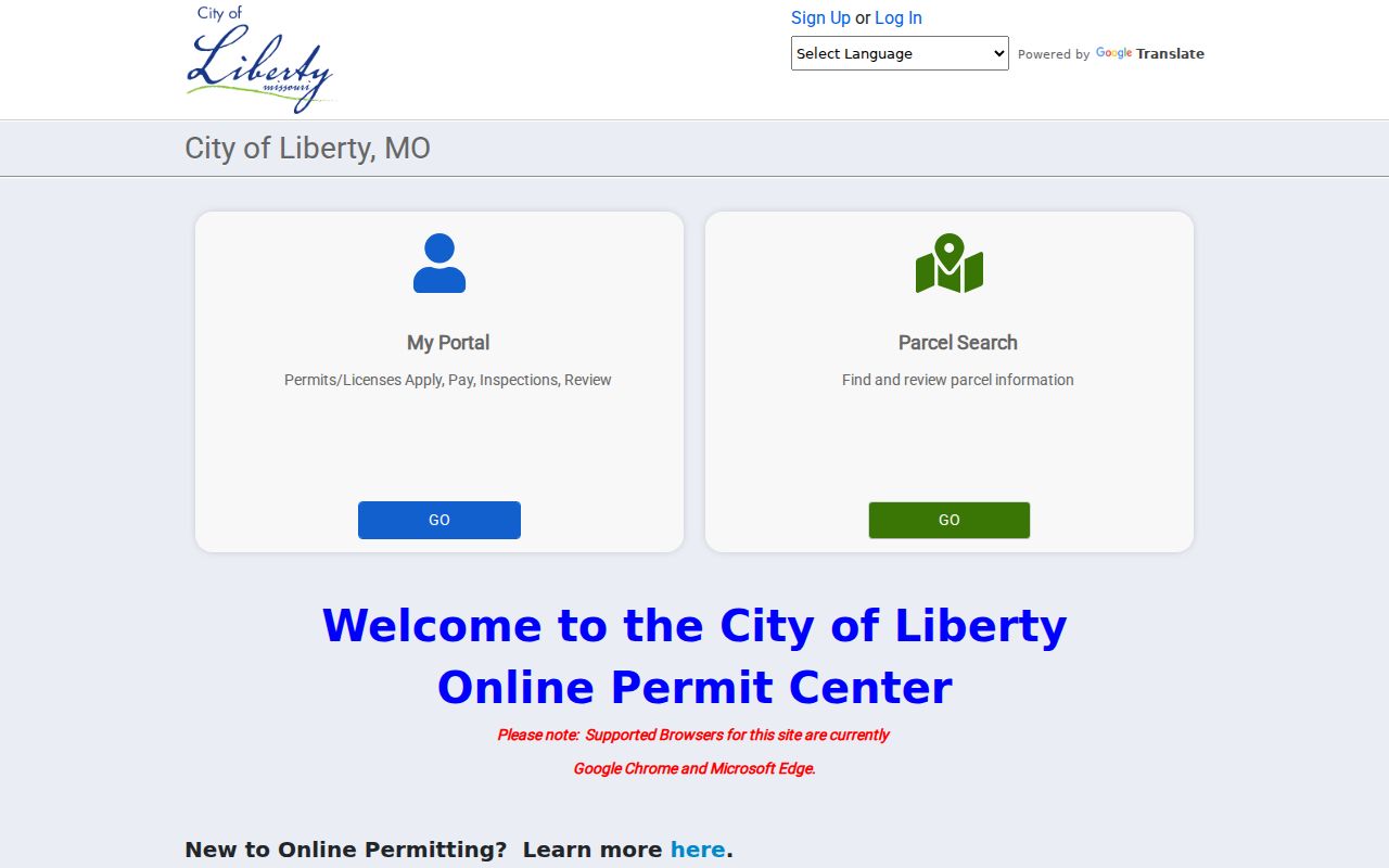
The public tiles separate parcel information from permits, reports, and documents, which helps keep a street search focused on the type of record needed.
Note: Liberty permits and code records apply only within the city’s jurisdiction, so another Clay County municipality requires its own portal or records custodian.
Clay County Street Searches Need Narrow Terms
The Clay County Collector search is a practical second address tool. It offers account-number, owner or business, and street-address modes. The address field requires at least four letters or numbers and asks the searcher to begin with a street number or street name. Its address search also exposes a ZIP or postal-code field. Use it to break a long street into manageable sets before returning to an individual parcel.
Collector results concern the tax account and responsible owner or business. They are not a list of every person at the property. Compare the tax result against the situs and Parcel ID, then use the Assessor’s sale reference if a Recorder search is needed.
The Collector’s public search form shows the available modes.
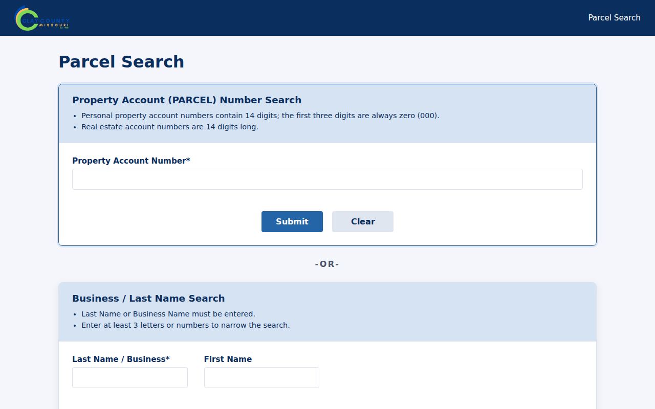
Its separate account, owner or business, address, and ZIP fields make it better for narrowing a street query than for identifying a complete household.
Clay County Streets Cross Record Boundaries
A Clay County street can sit near a city line, tax district, or ZIP that does not match a familiar mailing place. Clay GIS City Limits and the Assessor tax code are useful checks. The county’s 24-digit tax code stores district pairs: the first two identify school district, the next pair city, followed by fire, road, hospital, and further districts. For example, the GIS guidance lists Liberty city code 01 and unincorporated Clay County code 29. This is a records-geography clue, not a substitute for a deed or survey.
The Clay County Maps and GIS office provides the county’s mapping links, forms, and disclaimer. It can also be reached at 234 W. Shrader St., Suite D, Liberty, or 816-407-3370 for map and data questions.
Review the Maps and GIS office page before treating an overlay as a property boundary.
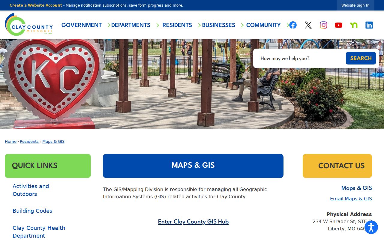
The county page links the mapping office to both the parcel search and interactive map, while its disclaimer directs boundary questions to recorded surveys, plats, and deeds.
Note: GIS layers are public reference data and should be compared with a recorded plat, survey, or deed before a boundary conclusion is made.
Clay County Street Directory Record Dates
Clay’s mixed Recorder history explains why a modern address can reach a record that is not fully searchable online. Deed books begin in 1822, the automated database began in 1986, and daily-record digital imaging began in August 1999. The office states that land-record images are online from January 1, 1967 forward, while older material continues to be indexed and digitized. When a chain moves before that online image period, use the Recorder’s public terminal or ask about copies, then continue through Clay County Archives or the Missouri State Archives Clay finding aid as needed.
Recorder copies may be mailed or emailed with credit-card payment, and the office accepts cash, check, or credit at the counter. The office is at 1 Courthouse Square, Liberty, with a mailing address of PO Box 238, Liberty. It lists 816-407-3550 and Monday through Friday hours of 8 a.m. to 5 p.m.; recordings and marriage licenses are not accepted after 4 p.m. The research notes a fee-adjustment notice effective August 28, 2026, so confirm the current schedule before ordering.
Older Clay County Street Directory Clues
Reverse or criss-cross volumes are the historical detour for a past address. The Midwest Genealogy Center holds city directories, phone books, maps, yearbooks, and extensive microform, and warns that some directory holdings are not in the online catalog. Clay County Archives can supply local records and correspondence research under its posted fee schedule. The exact Clay or Liberty reverse-directory year run was not verified, so confirm a volume’s street index before relying on it.
A historical address may use a township, rural route, old street name, or postal place. Retain the parcel’s legal description, map description, and tax geography when comparing it to an old entry. The full directory collections and their verified gaps belong with the Clay County city directory research rather than a current-street search.
Limits of a Clay County Street Directory
A Clay County street directory can connect public property and recorded-title facts. It cannot reveal everyone in a household. It does not supply utility customers, delivery records, full motor-vehicle address data, or a complete current list of people at an address. The state voter-registration check requires exact personal data and is not a public street browser. Election-record inspection follows RSMo §115.157, which limits available fields, does not require Internet publication, prohibits commercial use, and protects qualifying addresses.
Missouri Safe at Home participants use a substitute address on new government and court records. Protected voter addresses, sealed court material, juvenile matters, and nonpublic records remain unavailable. For a missing public county record, a focused written Sunshine Law request should name the existing record, date range, parcel, or field set sought. A custodian should respond within three business days under RSMo §610.023.3, subject to lawful closure or an explanation of delay.
Lawful use. Clay County street records can support personal property, family-history, and civic research. Never use an address trail to stalk, harass, intimidate, or harm a person.