
Clay County Previous Residents by Era
A backward address trail changes as it crosses record systems. A Clay County previous residents trail begins with the Clay Assessor parcel card, which supplies the current owner, situs address, map description, and sale instrument or book and page. That book or instrument reference turns an address question into the Clay Recorder's alphabetical grantor and grantee search. For household research, add the verified Liberty directory volumes, released federal census schedules, and local archival material. The first source that produces a name is a starting point, not a complete answer about everyone who lived there.
| Address-history source | Documented time coverage | Where to reach it | What it can show |
|---|---|---|---|
| Clay Assessor parcel card | Current assessed parcel data | Public parcel search, phone, or counter | Current owner or co-owner, situs, mailing field, map description, sale reference |
| Recorder land images | 1967 to present online | iCounty registration or Recorder public terminal | Recorded instrument images and the grantor-grantee trail |
| Recorder deed books | Books begin in 1822 | Recorder, public terminal, Archives, or State Archives | Earlier transfers, legal descriptions, and recorded names |
| Liberty directory checkpoints | 1975, 1983, and 1988 verified | Midwest Genealogy Center catalog, microform guides, and reference desk | Listed households and address clues for those volumes |
| Federal census schedules | Released under the federal 72-year rule | National Archives and genealogy repositories | Historical household context, subject to released years |
For a recent address, the parcel card and recorder often come first. For an older family question, a directory or census point can supply the name before the deed chain supplies the property connection. Clay County Archives is the fallback for original county records, newspapers, photographs, school records, and family-history material that is not fully online.
Clay County Previous Residents Parcel Card
Clay County Parcel Search accepts owner or business searching and property or address searching. The result and detail information distinguish the property address, also called the situs, from the owner's mailing address. The situs locates the parcel. A mailing address can be a trust, business, out-of-county address, or an address that changes only when tax correspondence is updated. It should not be treated as proof that the owner lived at the parcel.
Record the Prop ID, Parcel ID, owner and co-owner names, map description, use code, property type, section, township, range, tax area, and the sale table's instrument, book, page, deed type, and deed date. The book or page is especially valuable because Clay Recorder searches names rather than street addresses. For a crowded result list, add the street number and use the Collector's address search, which asks for at least four letters or numbers and can be narrowed by city or ZIP.
| Prop ID and Parcel ID | Identifiers that bridge the assessor, GIS, Collector, and recorder reference. |
|---|---|
| Property Address and Owner | Separate the physical situs from titled owner and co-owner information. |
| Owner mailing fields | Tax-correspondence details that may differ from the parcel location. |
| Map description and land fields | Subdivision context, use code, property type, section, township, range, and tax area. |
| Sale table | Instrument, book, page, deed type, and deed date for the next Recorder search. |
- Situs address
- The physical location of the parcel, used to place it on the map.
- Parcel ID
- A property identifier that connects the parcel card, GIS, Collector data, and recorder reference.
- Map description
- A summary of subdivision, lot, or land context. It is not a substitute for the recorded legal description.
Note: A tax or parcel record can identify titled owners and property facts, but it is not a roster of every person who lived at the address.
Clay County Deed Records by Date
Clay County's Recorder history has several important cutoffs. Hand-recorded deed books begin in 1822 and continue through 1986. The automated database began in 1986, daily-record imaging began in August 1999, and the office states that land images are available online from January 1, 1967. Those dates describe access layers, not a promise that every old item can be retrieved from one web screen.
Older material remains a real part of the past-residents trail. The Recorder continues adding older index information but does not claim full online coverage for every year. When an online search stops at an earlier transfer, use the Recorder's public terminal, ask the office about a book or page, and continue with Clay County Archives or Missouri State Archives finding aids. The office also records plats and surveys, which can help connect an older legal description to a subdivision or lot.
Clay County Recorder of Deeds gives the office's record types, contacts, access instructions, and current notices. Its office guidance says the county does not make sales price public, so a deed chain should not be read as a sales-price history.
Clay County's 1934 Record Transition
The second Clay County courthouse was razed in 1934. During the transition, county offices temporarily used the Old Cockrell Building, while circuit-court proceedings were held in the First National Bank basement and other county and probate offices occupied bank floors for about a year. A historical citation that names one of those locations can be accurate even though the present courthouse is elsewhere.
The current Art Deco courthouse followed in the mid-1930s and county facilities information identifies a 1935 building. The temporary move should not be used to assume all earlier records vanished. Recorder books, archive projects, and Missouri State Archives reels still document early Clay County material. This local record-keeping history can explain a puzzling repository reference while a deed or family trail is being reconstructed.
Trace Clay County Previous Residents Through Deeds
The recorder's index is alphabetical by grantor and grantee, not geographic. Use the assessor's current owner and sale reference to enter the name-indexed deed trail. A grantor is the party transferring an interest. A grantee is the party receiving it. The chain of title is the sequence of recorded transfers for the parcel. Its recorded legal description, such as a lot and block or metes-and-bounds description, is more durable than a street address when comparing older records.
| Grantor and grantee | The party names that form the Recorder's alphabetical index key. |
|---|---|
| Instrument or document type | The recorded-document context, such as a deed, plat, survey, lien, UCC item, power of attorney, or marriage-license record group. |
| Recording date | The date that helps place the transfer in the property sequence. |
| Book, page, or instrument | The assessor-supplied bridge for locating a document or requesting a copy. |
| Online image boundary | Land images are published from 1967 forward; earlier records may require the terminal or a historical repository. |
- Search the current Clay County parcel by situs address and save the current owner, map description, instrument, book, and page.
- Open the Recorder iCounty search as a registered user and search the current owner as grantee, using the book, page, or instrument when available.
- Read the recorded transfer for the seller, grantor, grantee, deed type, recording date, and legal description.
- Search that seller as a grantee to locate the earlier acquisition, then repeat the same name-to-name step backward.
- For a pre-1967 image or an unresolved book reference, use the Recorder terminal, request the record, or ask Archives and State Archives staff for the historical route.
Clay Recorder iCounty Online Search requires registration or login for online search and viewing. The office says searching and image viewing are free after registration, while document copies are purchased. Office copies can also be mailed or emailed with credit-card payment, and the Recorder accepts cash, check, or credit at the office. Confirm the current copy or recording charge before ordering because the Recorder posted a statewide fee adjustment notice effective August 28, 2026.
Clay County Deed Image Access Limits
Online access is one channel, not the whole historical shelf. The Recorder's online-access policy identifies land images from 1967 to the present and a marriage index from 1930 to the present, without online marriage images. Registered online use, the public terminal at the Recorder's office, ordered copies, and staff-assisted historical repositories each serve different parts of a past-residents search. Ask for the particular book, page, instrument, or name range rather than requesting a broad search by address.
Clay Recorder online-access information sets out the published land-image and marriage-index availability.
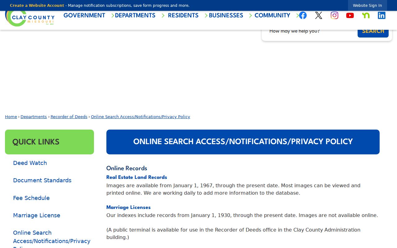
The published access policy is a useful checkpoint before a Clay County previous residents search shifts from online images to a terminal, copy request, or historical repository.
Note: An older deed book may be preserved and useful even when its image is not available through the online Recorder system.
Clay County Previous Residents Census Pairing
Owners are only one part of an address history. A directory or phone book may list a household at an address, while a released census schedule can show people in that household at a point in time. Midwest Genealogy Center catalog results verify the Liberty Polk directory title for 1975 and 1983, including Clay County rural residents. A 1988 Liberty print listing is also verified at St. Louis County Library. No complete local reverse-directory series has been verified, so first confirm that a particular volume has a street or address section before relying on it.
- Choose a verified directory year nearest to the period being researched.
- Copy the name, address, printed abbreviations, and any occupation or business line exactly as it appears.
- Compare the next available directory or phone-book year for a move, alternate spelling, or changed listing.
- Pair that dated address with the nearest released federal census schedule and compare household names.
- Use probate, marriage, cemetery, or newspaper material to test a disappearance without guessing the reason.
The 1890 federal census loss creates a national gap. Clay marriage records and applications in the FamilySearch Clay marriage catalog begin in 1822, and the Clay probate catalog covers 1822 to 1896 with indexes for 1868 to 1896. Those are relationship and estate leads, not a claim that a person continued to live at the directory address.
Clay County Previous Residents Need Address Bridges
Do not assume today's street address was the historical address. The deed's legal description, the assessor map description, GIS subdivision and lot layers, and section, township, and range fields are the bridge between older land records and a current parcel. A Clay County mailing city, city limit, ZIP, and parcel jurisdiction can also differ. Compare the GIS city-limit layer and tax-code city field when an address appears to move between Liberty, Kansas City, Smithville, or an unincorporated area.
Clay GIS map lines are a public-reference service and do not establish legal boundaries. Use a recorded plat, survey, or deed for a boundary question. If a historic directory uses a rural route, township, post office, or an unfamiliar street form, preserve that wording and work from the legal description or census township rather than forcing it into a current address.
For current street-level parcel detail, the Clay County street directory follows the address-to-parcel workflow without replacing the historical deed trail.
Clay County Archives House History Access
Clay County Archives research services provide the local fallback for original county records, family histories, photographs, school records, local newspapers, and historical research publications. The Archives is at 210 E. Franklin in Liberty and is open Monday through Wednesday, 9 a.m. to 4 p.m. Its staff recommends calling on Monday before a visit because volunteer coverage is stronger Tuesday and Wednesday. Research is available on site or through correspondence.
Nonmember on-site research is $5 per day. Correspondence begins at $10 per surname plus $10 per additional research hour. The documented copy rates include $1 per page for original records, 25 cents for published black-and-white copies, 75 cents for color, 50 cents for oversized copies, and 25 cents for microfilm printouts. The Archives' historic Clay County tours include photographs and history for homes, buildings, and sites built from 1800 to 1890, a useful place-context lead when a parcel name or legal description is already known.
Past Residents of Clay County Homes
A completed trail separates what each record proves. A deed establishes a recorded transfer. An assessor card identifies current title and parcel data. A directory or census can place a listed household at an address for its own date. Obituaries, cemetery records, and probate can help explain family relationships or a final historical appearance. None of those sources alone establishes every person who occupied a home, especially when the person was not named in a public record.
Liberty's cemetery GIS is a focused end point for deceased-resident research. It searches by last name or year of death, lets a user locate a headstone, and prints a map. Mt. Memorial was a public burying ground by 1836 and was officially named in 1916. That historical evidence can close a family trail without turning an old address into a current-location claim.
Lawful use. Use Clay County past-resident research for family history, house history, estate questions, and personal curiosity. Do not use records to stalk, harass, or harm a living person.