
Finding Clay County Neighbors by Block
The most reliable starting point for Clay County neighbors is the public record attached to each parcel. A map can identify the lots touching a subject lot. The Assessor card can add a current owner or co-owner, situs, mailing fields, and land-description context. The Recorder can then document recorded ownership changes by name. These sources establish property facts. They do not identify a full household or prove that an owner is present at a given time.
| Clay County block source | What it can show about the block | Access channel |
|---|---|---|
| Clay GIS parcels | Touching parcel polygons, Parcel IDs, situs, current owner, and map description | Public interactive map; reference-only data |
| Assessor detail card | Owner or co-owner, mailing versus situs, assessment, and legal-description context | Public parcel search, phone, or counter |
| Recorder instruments | Recorded transfers and instruments for each parcel’s named parties | Name-indexed iCounty, public terminal, or copy request |
| Voter records | Statutorily permitted name, address, year-of-birth, precinct, and election-specific fields | Election Board inspection or request, subject to limits |
| Liberty Neighborhoods map | Registered neighborhood or association coverage, not private membership | Public city map; incomplete by the city’s own notice |
| SmartGov permits | Address-, parcel-, or name-linked applications, permits, and documents | Public portal and local records request |
| MGC and Archives volumes | Historical address-to-occupant or phone clues when a particular volume has an index | Catalog, microform, onsite, or correspondence research |
Use each result as a separate fact. A listed owner may receive tax mail away from the situs. A voter record has a narrower legal purpose. A neighborhood group map may show a civic area without naming a single member. That distinction keeps a block lookup grounded in Clay County sources rather than assumptions about neighbors.
Clay County GIS Parcels Around an Address
The Clay County GIS Interactive Map has an address and parcel search plus Current Year Parcels, Lots, Subdivisions, Building Footprints, City Limits, and taxing-district layers. Its selected-result detail can show Prop ID, Parcel ID, Current Owner, Situs, and Map Description. Keep the parcel layer visible. Do not infer a neighbor from a nearby street number, because a corner lot, subdivision design, or irregular lot line can break that sequence.
- Search the subject address or parcel, then open the matched polygon and preserve its Parcel ID, situs, and map description.
- Turn on Current Year Parcels and Building Footprints. Zoom to the immediate edges of the subject lot.
- Click each polygon that physically touches the subject parcel. Record each parcel’s own result rather than copying a street-number pattern.
- Cross-check the adjoining parcels in the Assessor detail card. Use the select-by-polygon tool only when a formal group of parcels is needed.
Measure gives an approximate edge-to-edge distance. It does not create a boundary. For a full named-street chain beyond the immediate block, use the Clay County street directory workflow.
Inspect the Clay GIS map interface before using the layer controls.
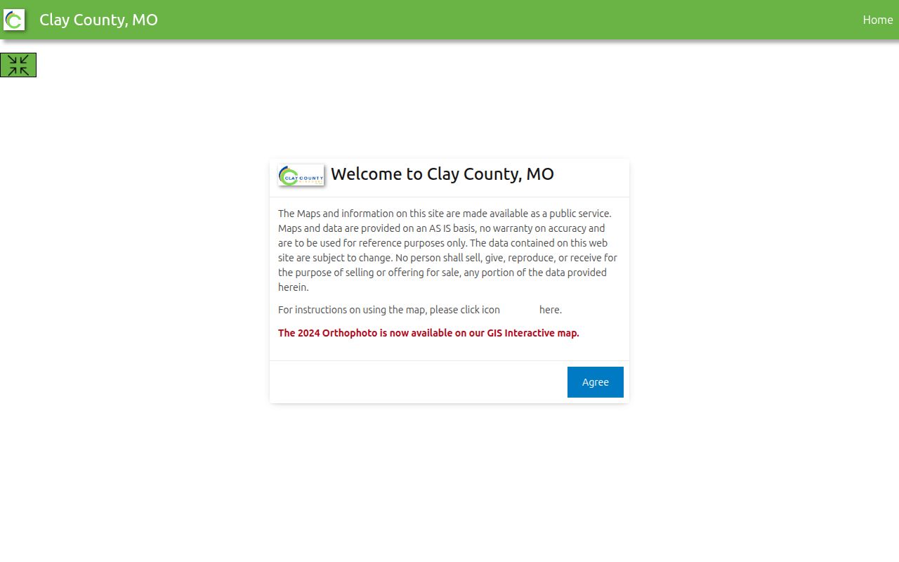
The viewer supports parcel, subdivision, building, district, zoning, road, and orthophoto layers, so the immediate block can be viewed with its records geography in mind.
Note: A corner lot or irregular subdivision line can break a street-number sequence, so use touching parcel polygons instead of guessing which homes are adjacent.
Clay County Neighbors: Situs and Mailing Addresses
Clay’s Assessor card deliberately distinguishes the property’s situs from the owner’s mailing fields. The situs places the land on the block. A mailing address can point to an owner elsewhere, a company, a trust, or an address that has not yet been updated for tax notices. It should not be presented as the location of a neighbor. Parcel cards can also show use code, property type, section, township, range, tax area, assessment history, and sale instrument or book/page.
| Clay County term | Meaning for a block lookup |
|---|---|
| Situs | The physical parcel location used to place a property on the block. |
| Owner mailing address | The tax-contact location for the titled party, which can differ from the situs. |
| Map description | Parcel context such as a subdivision or lot description, not the controlling legal instrument. |
| Parcel ID | The identifier that helps distinguish an adjoining parcel from another nearby address. |
The Clay County Parcel Search is the direct online channel. Residential real-estate questions can also go to 816-407-3510, commercial questions to 816-407-3530, and GIS questions to 816-407-3370.
Liberty Groups Near Clay County Neighbors
Liberty’s Neighborhoods page is a civic contact layer, not a neighbor roster. The city map shows registered homeowner associations and neighborhood groups, but it is incomplete because organizations appear only when registered with the city. The map names groups such as Bent Oaks, Bowles Addition, Clay Meadows, Clay Ridge, Claywoods, College Place West, Creekwood, Dougherty Historic District, Homestead of Liberty, Middlemarch Estates, Parkview Meadows, Riverwood, South Valley Park, Timber Ridge, Westwoods, Whitehall Addition, and Withersfield.
| Liberty community layer | What the public source offers | Important limit |
|---|---|---|
| Registered Neighborhoods map | Names and geographic coverage for registered groups or associations | Incomplete registration-based map; no member roster |
| Neighborhood Enhancement Grant | Public civic trail for organized groups with bylaws and elected boards | Grant eligibility is not a household list |
| Historic Downtown Liberty and Historic Liberty | Named preservation and community organizations in the city handbook | Current contact details need confirmation before use |
For 2026, the city describes a $10,000 Neighborhood Enhancement Grant budget, awards from $500 to $10,000, a 25% match, and organization requirements. Those facts show a public civic channel around a block without exposing private association membership.
Open Liberty’s registered-neighborhood information to see the city’s map and program context.
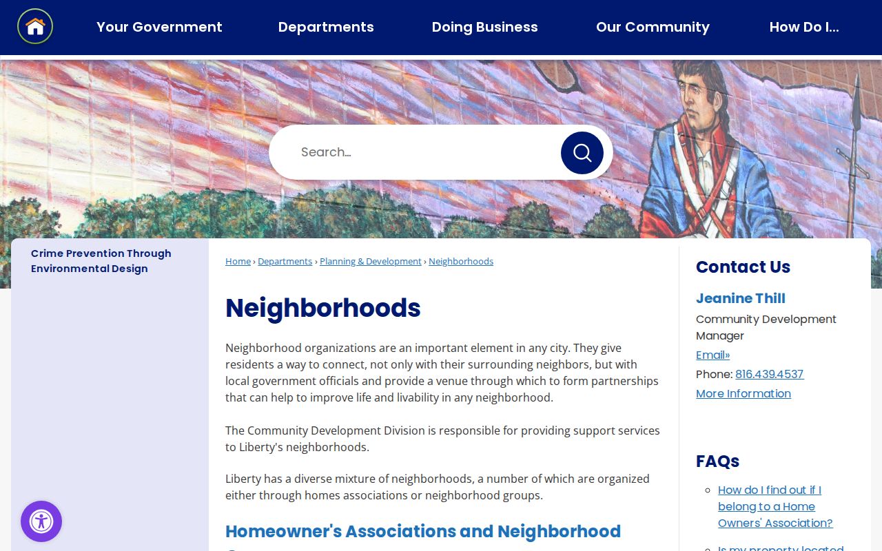
The city page is helpful for locating a registered community group near a Liberty address, while the city’s stated limits mean it cannot verify individual neighbors.
Note: A registered-neighborhood map identifies public civic geography, not membership, a current household roster, or permission to contact individual residents.
Clay County Neighbor Voter Records
Missouri has two different voter-record paths. The Secretary of State’s registration check is an exact-data match tool, requiring the registered first and last name, date of birth, last four Social Security digits, and county. It is not a map or street browser. For records questions, a lawful request, or inspection procedure, contact the Clay County Election Board at 100 W. Mississippi St., Liberty, 816-415-8683.
RSMo §115.157 identifies the public computerized fields, including name, year of birth, address elements, township or ward, precinct, and districts. It allows specified election-related list information but does not require Internet publication, bars commercial use, and permits qualifying residential addresses to be closed. The exact Clay County voter-file form, fee, and delivery format were not located in the research. A request should identify the field set, precinct or ward, election or date, and intended lawful noncommercial use.
Note: A voter record is not a complete household list, and a non-match in the state check does not prove that a person is absent from an address.
Liberty Records Around a Clay County Block
Liberty’s SmartGov public portal can search permits and licenses by permit or license number, address, name, or application number. Its parcel function accepts address or parcel autocomplete and a map click can return parcel number, owner, and address. Building Division records provide a project or inspection trail. A permit can date work at a property, but it does not show who occupies it.
Neighborhood Watch guidance is a separate civic route. Liberty describes a citizen group for alertness and crime prevention, not a vigilante body. The city suggests recruiting participants, identifying concerns, making an action plan, meeting or training, creating a phone tree, and keeping the group active. Qualifying online reports have city and incident limits, while emergencies go to 911. A watch page may help reconnect with a block, yet it is not proof of residency.
Clay County Neighbor Boundaries and Tax Codes
A parcel beside another parcel can fall across a city or tax-district line. Use Clay GIS City Limits and taxing overlays before assigning a municipal record source. Clay County’s 24-digit tax code supplies another local geography check: each two digits represent districts. The first pair is school district, followed by city, fire, road, hospital, and further district pairs. The county GIS guidance lists Liberty city code 01, Kearney 03, Smithville 05, Excelsior Springs 02, North Kansas City 07, Gladstone 20, and unincorporated Clay County 29.
This numerical district code is useful when a mailing city, ZIP, and jurisdiction disagree. It does not establish a legal line. Clay GIS says map data is public-service information, subject to change, and not an official boundary statement. Use recorded plats, surveys, and deeds to resolve a boundary question.
Privacy Limits for Clay County Neighbor Research
Public sources are stronger when the question is narrow and weaker when it asks for a whole household. Utility customers, delivery records, full motor-vehicle address data, nonpublic association membership, protected voter addresses, sealed records, juvenile records, and Safe at Home participants remain outside a block search. Missouri Safe at Home gives qualifying survivors and household members a substitute address for new government and court records, including voter registration.
| Official record path | Commercial neighbor-lookup category |
|---|---|
| Identifies the custodian, record type, and access rule for a parcel, deed, or voter request. | May combine public and purchased data without showing the underlying source or current date. |
| Allows a parcel number, record date, map detail, or lawful request to be checked at the source. | Can merge unrelated people, retain stale address links, or omit protected information without explanation. |
| Supports a narrow property, family-history, civic, or safety question with documented limits. | Does not overcome record closures or prove a complete current household. |
When an official Clay County record is missing, make a focused Sunshine Law request for an existing record rather than asking a custodian to create a neighbor list. Chapter 610 generally calls for a response within three business days under RSMo §610.023.3, subject to closure rules and any lawful fees. Correct an inaccurate parcel, voter, or court record through the agency that created it.
Lawful use. Clay County neighbor research can support local connection, family history, and personal safety awareness. Never use a map, record, or civic contact to watch, stalk, harass, intimidate, or harm anyone.